About Us
Turning Geospatial Data into Intelligent Decisions
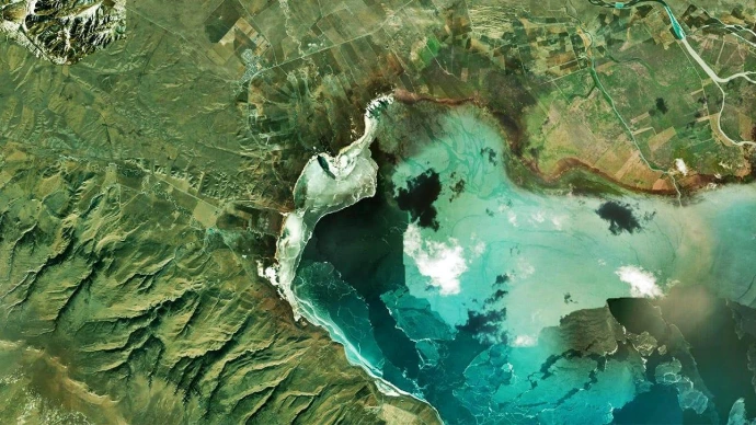
We transform geospatial data into actionable insights.
NEX27 is an Earth Intelligence company transforming geospatial data into actionable insights.
We combine Earth Observation, remote sensing, GIS, and geospatial analytics to help solve complex challenges across agriculture, forestry, mining, infrastructure, natural resources, environmental monitoring, and sustainable development.
Our Vision
We envision a future where Earth Observation and spatial intelligence empower organizations to monitor change, manage resources efficiently, and build more resilient communities.

Our Mission
We are committed to building scalable solutions that help organizations monitor, analyze, and manage the world with greater accuracy, efficiency, and confidence.
Earth observation
High-resolution satellite data and remote sensing solutions for real-world applications across industries.
GIS & Mapping
Advanced spatial analysis, mapping, and geospatial modeling to support planning, management, and operations.
AI & Analytics
AI-powered analytics and machine learning models that turn complex data into actionable insights.
Environmental Monitoring
Monitoring environmental changes and natural resources to drive sustainability and reduce environmental impact.
From data to decisions, we empower a smarter, safer, and more sustainable world.