Services
Empowering Industries with Smarter Geospatial Solutions
From Earth Observation to Actionable Intelligence
End-to-end geospatial intelligence services designed to support planning, performance, resilience, and growth.
We offer a full spectrum of geospatial and analytics services that help organizations understand space, monitor change, manage resources, and make smarter decisions with confidence.
We offer a full spectrum of geospatial and analytics services that help organizations understand space, monitor change, manage resources, and make smarter decisions with confidence.
1. Geospatial Analytics & Intelligence
We transform complex spatial datasets into meaningful intelligence through advanced analysis, dashboards, and decision-support tools. This service is ideal for organizations that need timely insights for planning, monitoring, and strategic action.
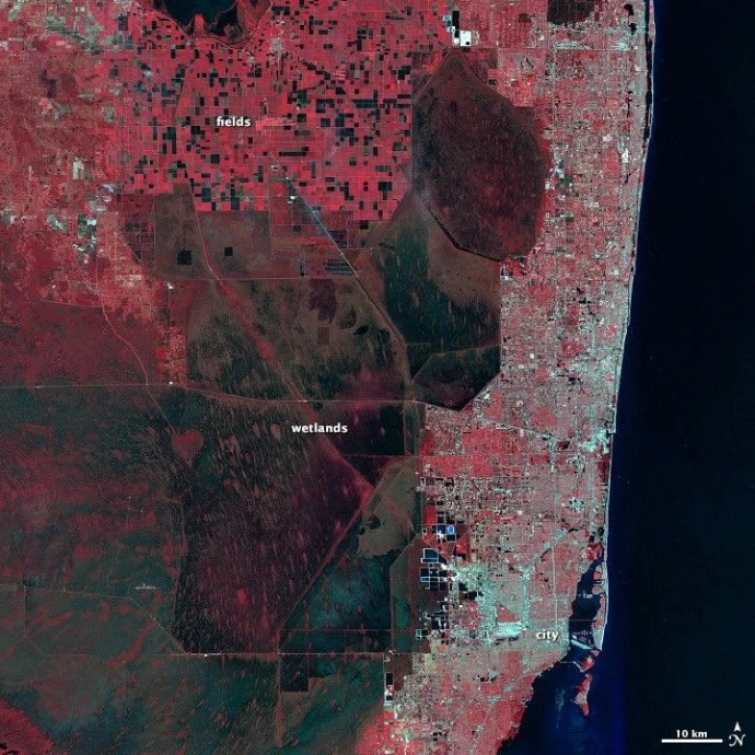
2. GIS Mapping & Spatial Solutions
Our GIS services include digital mapping, thematic layers, spatial database development, asset mapping, and location-based analysis. We create precise and reliable mapping outputs that support infrastructure planning, land management, public systems, and enterprise operations.
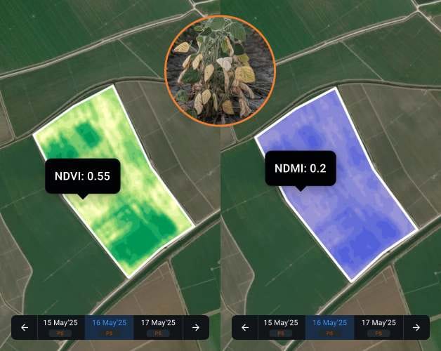
3. Satellite Data & Earth Observation
We use Earth Observation and satellite imagery to monitor land use, environmental change, natural resources, and infrastructure activity. These insights help clients detect trends early, validate conditions, and improve situational awareness over large geographic areas.
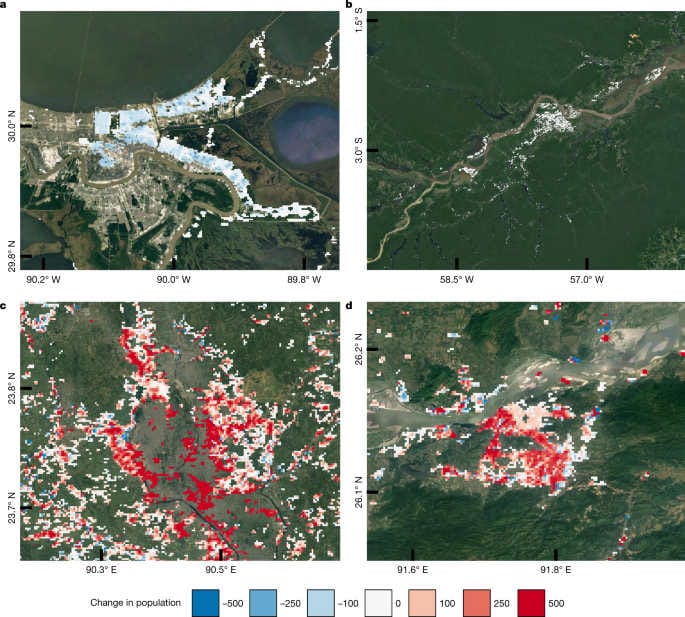
4. Agriculture Intelligence
Our agriculture intelligence solutions support crop monitoring, yield planning, land suitability studies, vegetation analysis, and decision support for sustainable agricultural development. We help stakeholders improve productivity while managing environmental and operational risks.
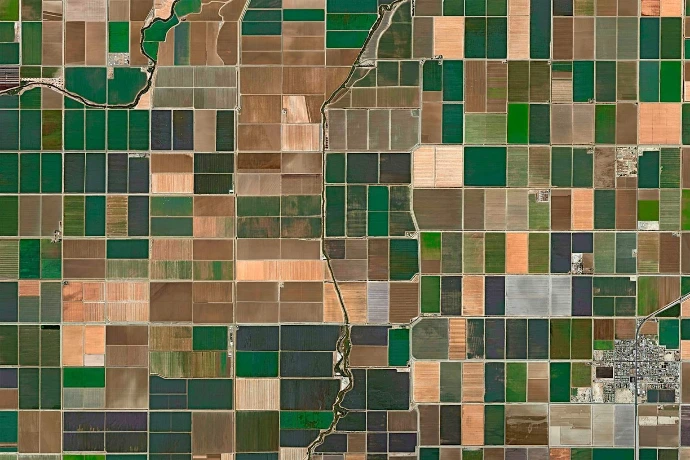
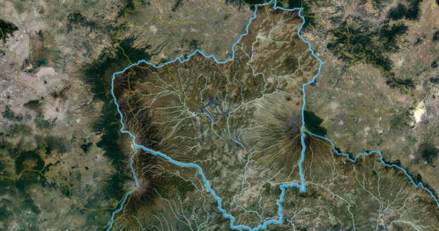
5. Water Resource Intelligence
We provide water-focused geospatial services for watershed monitoring, surface water mapping, reservoir analysis, hydrological assessment, and water risk evaluation. These services support better planning, conservation, and long-term water security.
6. Land & Infrastructure Intelligence
We support land-use planning, infrastructure mapping, corridor monitoring, urban assessment, and development planning through integrated spatial analysis. Our solutions help organizations improve planning accuracy, reduce risk, and manage assets more effectively.

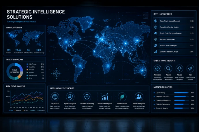
8. Strategic Intelligence Solutions
We develop tailored geospatial intelligence frameworks for organizations that need high-value insights for policy, investment, planning, and long-term strategy. These solutions are designed to support leaders in making informed and future-ready decisions.
7. Risk & Environmental Intelligence
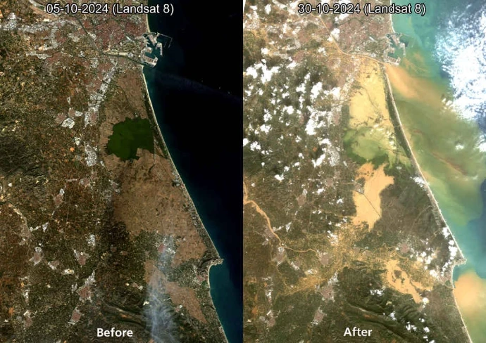
Our solutions help identify, monitor, and assess environmental and operational risks using geospatial intelligence, remote sensing, and multi-source analytics. This enables better preparedness, faster response, and stronger resilience across sectors.
How We Deliver
Our process in five easy steps
1
DISCOVER
Understand the challenge and define objectives.
2
INTEGRATE
Collect and integrate relevant data sources.
3
ANALYZE
Process, analyze, and validate geospatial information.
4
DELIVER
Build outputs such as maps, dashboards, reports, and intelligence layers.
5
ENABLE
Support implementation through insight-driven recommendations.